
With Help from PolicyMap, Bikeshare Hawaii Tailors Biki Access for Low-Income Residents
by Tiana Tran, Hawaii Data Collaborative
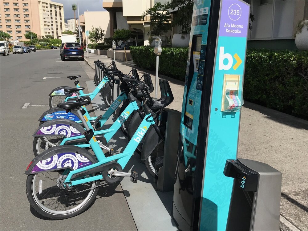
You’ve probably seen them: teal blue bicycles that locals and visitors alike have come to count on for quick, easy, and affordable transportation. Launched in 2017 and operated by Bikeshare Hawaii, Biki bikes have become a familiar sight throughout downtown Honolulu, numbering 1,300 bikes at 130 self-serve locations.
As part of their mission to provide a low-cost and convenient zero-emissions transportation option, Biki launched its Access Program in August 2019 that aims to reduce the financial barriers to bikesharing for low-income Hawaii residents. At just $10 a month—$5 cheaper than their most affordable kamaaina membership—the Access membership allows users to take as many rides as they’d like, as long as each ride is 30 minutes or less. To qualify for the discounted rate, a rider must be a Hawaii resident and current recipient of public benefits through one of several programs with the Hawaii Department of Human Services (DHS).
Mapping tool identifies key neighborhoods for Access Program feedback
The Bikeshare Hawaii team believes its Access Program will allow for greater usage of Biki by residents for whom the regular kamaaina membership may have been cost prohibitive, but they also know that more can be done to make this program successful. In 2020, Bikeshare Hawaii staff plan to conduct targeted focus groups to gather feedback on the Access Program, and hear perspectives on the overall bikeshare program from people who are eligible for the income-qualifying rate. Based on these conversations, staff hope to improve Biki’s marketing and outreach strategies by learning more about the eligible communities’ barriers and needs, as well as whether the current price point is appropriate.
When the team at Bikeshare Hawaii began planning the focus groups to reach low-income Hawaii residents, they knew they faced a location challenge: in which neighborhoods would they be most likely to reach their target audience?
Enter Hawaii.PolicyMap, an online easy-to-use mapping tool that allows users to overlay different geospatial data layers on a map (open access to the tool is sponsored by the Hawaii Data Collaborative). In addition to providing data and mapping for thousands of indicators related to topics such as demographics, housing, health, and employment, Hawaii.PolicyMap maintains geospatial data on the percentage of families receiving Supplemental Nutrition Assistance Program (SNAP) benefits, the most commonly accessed form of public assistance from DHS.
Using Hawaii.PolicyMap, the Bikeshare Hawaii team was able to map their Biki stop locations (shown by the red diamonds on the map below) on top of a data layer showing percentage of families receiving SNAP benefits (shown by the purple gradient on the map with a darker shade representing a higher percentage of recipients):

Custom map created in Hawaii.PolicyMap showing location of Bikeshare Hawaii Biki stop stations as red diamonds, overlaid with the percentage of Hawaii families receiving food stamp or SNAP benefits shaded in purple
Because PolicyMap’s data quickly identified the information Bikeshare Hawaii staff were seeking (i.e., urban core neighborhoods with high concentrations of residents receiving SNAP benefits), staff will be able to focus more of their time and efforts in targeted outreach to Access Program-eligible residents.
Hawaii.PolicyMap helps Bikeshare Hawaii plan for the future
Bikeshare Hawaii is also using Hawaii.PolicyMap to show the distance between Biki stations (shown as red diamonds on the map below) and transit stops or public housing projects (shown as green diamonds on the map) in their service area. This information will assist in the organization’s planning for future Biki station locations, hopefully facilitating the use of Biki by transit users and public housing residents.

Interested in learning more about Hawaii.PolicyMap, or playing with its data? Hawaii Data Collaborative sponsors an open access license to Hawaii.PolicyMap that is available to any and all individuals or organizations based here in Hawaii. If you’re interested in signing up for Hawaii.PolicyMap, click here to request a login.